
Your basket is currently empty!
Britons 10mm
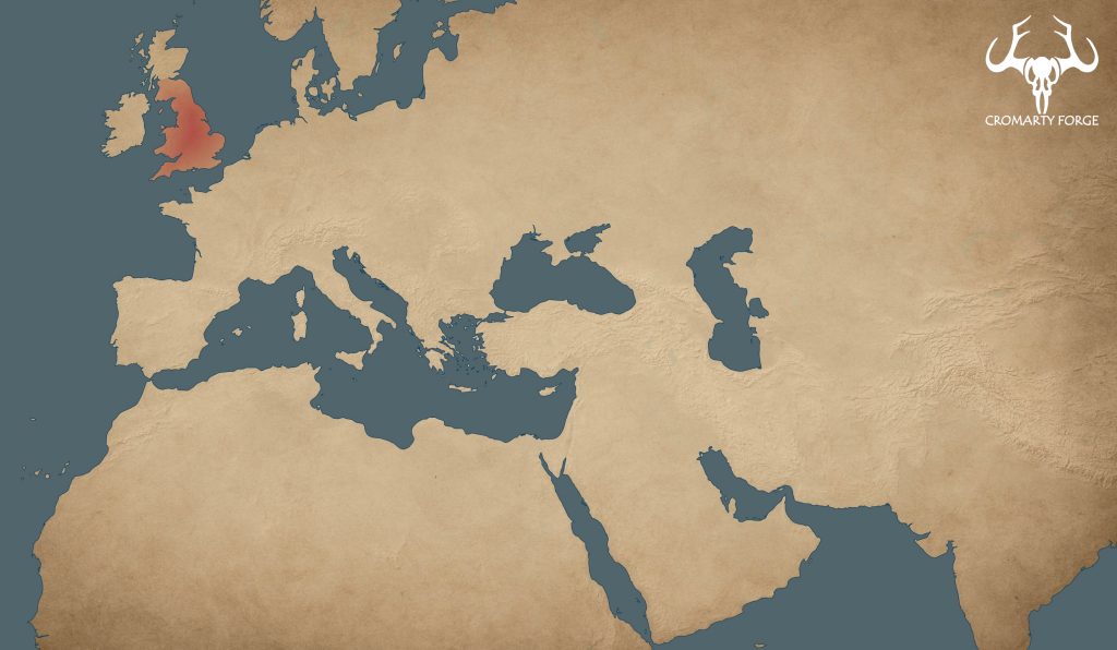
The Ancient Britons
The Britons were a collection of tribal societies living in the southern portion of the island of Britain during the Iron Age. Their culture was Celtic in character, sharing language and traditions with other continental Celtic peoples.
By 60 BCE, British tribes had begun interacting with the expanding Roman world through trade and diplomacy. Then in 43 CE the Romans launched a full-scale invasion under Emperor Claudius. The Britons resisted fiercely. The most famous uprising occurred in 60–61 CE, when Boudica, queen of the Iceni, led a large-scale revolt that sacked several Roman settlements before being decisively defeated.
British warriors fought primarily on foot, but noble elites often rode on horses, or in light chariots. The Britons use of the light chariot made a significant impression on Julius Caesar, who wrote of the terror the chariots caused due to the noise of their wheels and the speed of their horses. Warriors would ride the chariots into battle before dismounting to fight whilst their battle taxis hung around nearby ready for extraction and retreat (not an exact translation).
Despite initial resistance, by 90 CE much of southern Britain was under Roman control, though rebellions and unrest continued for decades.
Britons 10mm STL Files
The army list here is intended to represent the Britons from ca. 60BCE – 90CE
Where possible I have sculpted models to be self supporting. I add supports during my sculpting process rather than afterward. The integration of supports into design allows me to reduce the number of supports needed, and to position them more favourably. My supports need to be removed with clippers or a scalpel. All models requiring supports are also supplied in an unsupported format.
Some infantry models are supplied strip mounted. Strip mounted models are supplied on strips intended for use on 40mm wide bases. Where models are strip mounted individually mounted models are also supplied.
-

10mm Gallic + Briton: Full Army
£35.00 -

10mm Briton: Full Army
£25.00 -

10mm Briton: Command
£6.00 -

10mm Briton: Chariots
£6.00 -

10mm Briton: Cavalry (Mounted skirmishers)
£6.00 -

10mm Briton: Fanatics
£6.00 -

10mm Briton: Warriors
£7.00 -

10mm Briton: Skirmishers
£5.00
Map credits:
Basemap and geographic features from Natural Earth (naturalearthdata.com). Map built in QGIS.
Historical overlays digitised by the author from historical sources for educational and illustrative use.